Map View Selection
With this application, users can select and downsample data interactively in 2D plan view.
New user? Visit the Getting Started page.
Application
The following sections provide details on the different parameters controlling the application. Interactive widgets shown below are for demonstration purposes only.
[1]:
from geoapps.base.plot import PlotSelection2D

app = PlotSelection2D(h5file=r"../../../assets/FlinFlon.geoh5")
app()
Object/Data Selection
List of objects available to pull data from.
[2]:
app.data_panel
See the Object Selection page for more details.
Resolution
Determine the minimum distance between data points.
[3]:
app.resolution
For Grid2D objects, the resolution of the grid is downsampled uniformely to the nearest interval. For example, requesting a 15 m minimum resolution on a 10 m base grid will result in a 20 m sub-sampling.
For Points, Curve and Surface objects, the downsampling is done radially using the Scipy.spatial.cKDTree routine.
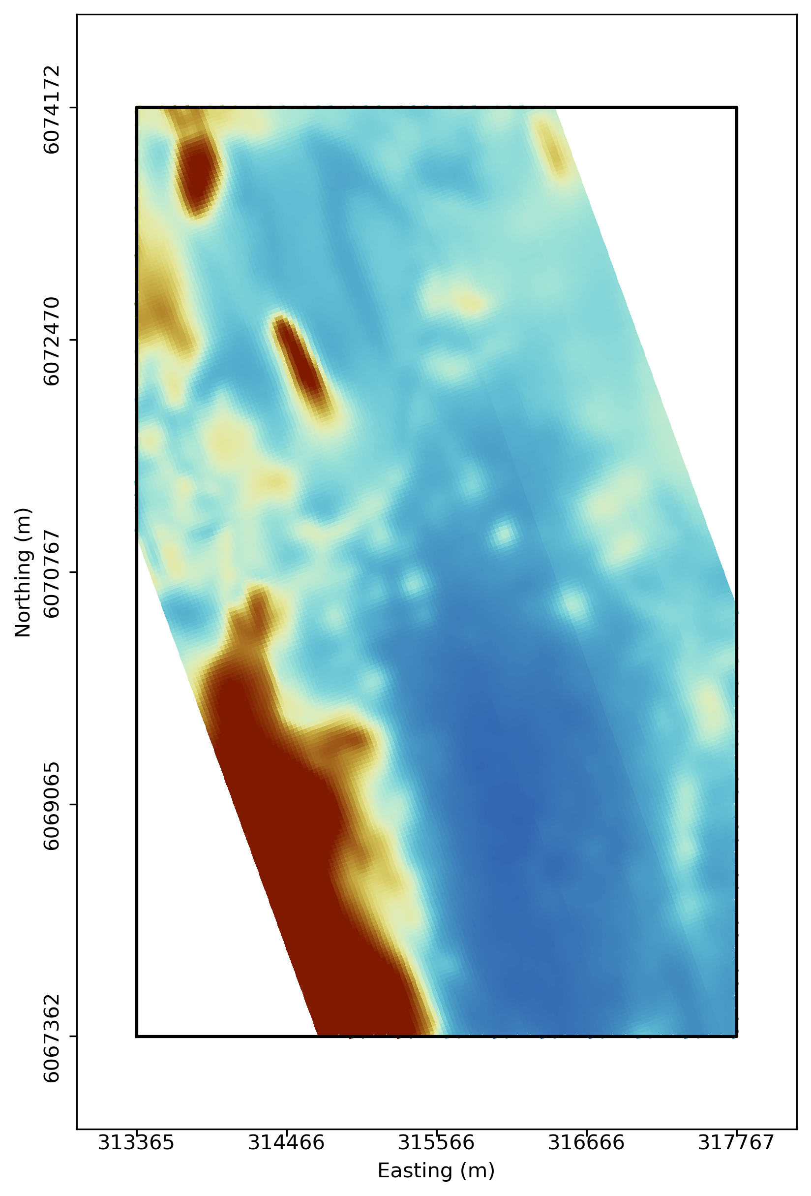
Window Selection
Manual selection of an area of interest and data resolution.
Zoom on selection
Set the plotting area to the extent of the window selection, or keep fix to the target object extent.
[9]:
app.zoom_extent
Colorbar
Option to display a colorbar next to the figure.
[10]:
app.colorbar
Need help? Contact us at support@mirageoscience.com